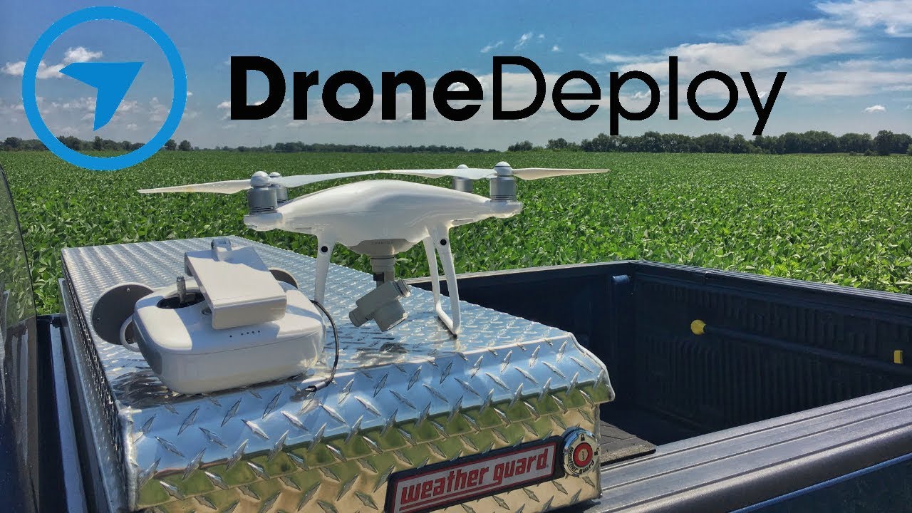
How to use drone deploy – How to use DroneDeploy? This guide dives into the world of drone-based data acquisition and analysis, taking you from creating your account to processing high-resolution images and 3D models. We’ll cover everything from flight planning and execution to advanced features and troubleshooting common issues, making professional-grade drone mapping accessible to everyone.
We’ll explore DroneDeploy’s intuitive interface, its various subscription options, and the best practices for maximizing your workflow efficiency. You’ll learn how to plan efficient flight paths, ensuring optimal data coverage and minimizing flight time. We’ll also cover essential safety procedures and how to handle unexpected situations during your flights. Finally, we’ll show you how to leverage DroneDeploy’s powerful data processing tools to create valuable insights from your aerial imagery.
Getting Started with DroneDeploy

DroneDeploy is a powerful cloud-based platform that simplifies the entire drone data workflow, from flight planning to data analysis. This guide provides a comprehensive overview of how to use DroneDeploy effectively.
DroneDeploy Platform Functionalities
DroneDeploy’s core functionalities include flight planning, drone control (for compatible drones), data processing, and data analysis tools. It offers features for creating orthomosaics, 3D models, point clouds, and performing measurements on the captured data. The platform is designed for ease of use, allowing users of varying skill levels to collect and analyze aerial data efficiently.
Creating a DroneDeploy Account
- Visit the DroneDeploy website and click on “Sign Up”.
- Choose whether to sign up with your email address or through a social media account.
- Fill in the required information, including your name, email address, and password.
- Select your subscription plan (details below).
- Verify your email address by clicking on the link sent to your inbox.
DroneDeploy Subscription Plans
DroneDeploy offers various subscription plans catering to different needs and budgets. These typically range from free trials to enterprise-level options. Key features often included in higher-tier plans are increased data storage, advanced processing capabilities, and access to premium support. Check the DroneDeploy website for the most up-to-date pricing and features.
Setting Up a User Profile
Optimizing your user profile ensures a smooth workflow. Complete your profile with accurate information, including your company details and preferred units of measurement. This ensures consistent data reporting and facilitates collaboration.
Planning Your Drone Flight with DroneDeploy
Effective flight planning is crucial for successful data acquisition. DroneDeploy provides intuitive tools to design and optimize your flight plans.
Designing a Flight Plan
DroneDeploy’s flight planning tools allow you to define your area of interest, set flight parameters, and generate a flight path for your drone. The platform automatically calculates the necessary flight parameters based on your chosen settings and the drone’s capabilities.
Getting started with drone mapping? Planning your flights and processing the data can seem tricky, but it’s easier than you think! Check out this super helpful guide on how to use DroneDeploy to learn the basics. From mission planning to creating stunning 3D models, understanding how to use DroneDeploy will unlock a whole new world of aerial possibilities.
Mastering the software is key to getting the most out of your drone.
| Parameter | Low Altitude | Medium Altitude | High Altitude |
|---|---|---|---|
| Altitude (meters) | 50 | 100 | 150 |
| Overlap (%) | 70-80 | 70-80 | 60-70 |
| Speed (m/s) | 3-5 | 5-7 | 7-9 |
Pre-Flight Checklists and Safety Procedures
Always conduct a thorough pre-flight checklist, including verifying battery levels, checking GPS signal strength, and inspecting the drone for any damage. Adhering to all relevant safety regulations and best practices is essential.
Potential Flight Planning Challenges and Mitigation

Challenges such as wind conditions, obstructions, and no-fly zones can affect flight planning. Mitigation strategies include selecting suitable flight times, adjusting flight parameters, and carefully reviewing the flight path before takeoff.
Selecting a Suitable Drone
- Consider the size and weight of the drone for accessibility to the project area.
- Evaluate the drone’s camera resolution and sensor type for the required data quality.
- Assess the drone’s flight time and range in relation to the project area.
- Check for compatibility with DroneDeploy’s flight control features.
Executing Your Drone Flight
This section details the process of conducting a drone flight using DroneDeploy.
Connecting Your Drone to DroneDeploy
The connection process varies depending on your drone model. Generally, it involves installing the DroneDeploy app on your mobile device or tablet, establishing a connection to your drone via Wi-Fi or other supported methods, and then launching the flight plan within the app.
In-Flight Monitoring
DroneDeploy allows real-time monitoring of your drone’s flight path, battery level, and GPS signal strength. This enables you to make necessary adjustments during the flight and identify any potential issues promptly.
Handling Unexpected Issues, How to use drone deploy
Unexpected issues like low battery, loss of GPS signal, or wind gusts can occur. Having a backup plan, understanding your drone’s emergency procedures, and being prepared to land safely are crucial.
Post-Flight Procedures
- Safely land your drone.
- Download the flight log and data from your drone.
- Inspect the drone for any damage.
- Ensure data is properly uploaded to DroneDeploy for processing.
Processing and Analyzing Drone Data with DroneDeploy
DroneDeploy automates much of the data processing, allowing you to generate various outputs for analysis.
DroneDeploy Processing Options
DroneDeploy offers various processing options, including orthomosaic generation, 3D model creation, and point cloud generation. The choice depends on the specific needs of your project.
Generating Outputs
The process typically involves uploading your flight data to DroneDeploy, selecting your desired processing options, and then waiting for the processing to complete. Once finished, you can download the processed data in various formats.
Comparing Data Outputs
Orthomosaics provide a georeferenced 2D map, 3D models offer a visual representation of the terrain, and point clouds provide a dense collection of 3D points. Each output serves different purposes and is suitable for different analyses.
Processing Large Datasets
For large datasets, consider using DroneDeploy’s advanced processing options and optimizing your processing settings to minimize processing time and storage requirements. Batch processing is also a useful feature for handling multiple datasets efficiently.
Getting started with DroneDeploy is easier than you think! First, you’ll want to set up your account and connect your drone. Then, you’ll learn how to plan your flights, focusing on getting the best possible image coverage. Check out this super helpful guide on how to use DroneDeploy to master the basics. After that, you’ll be processing your data and creating stunning 3D models in no time!
Utilizing DroneDeploy’s Advanced Features
DroneDeploy offers advanced features for detailed data analysis and integration with other platforms.
Measurement Tools
DroneDeploy provides tools for accurate measurements of distances, areas, and volumes directly on the processed data. This eliminates the need for manual measurements, improving efficiency and accuracy.
Volume and Area Calculations
The platform facilitates precise volume calculations for stockpiles, excavations, or other applications, and area measurements for land surveying or other projects. These features are particularly useful in construction, mining, and agriculture.
Software Integration
DroneDeploy integrates with other software platforms such as GIS software, allowing seamless data transfer and analysis within existing workflows.
Data Export
- Open the project in DroneDeploy.
- Select the data you wish to export.
- Choose the desired export format (e.g., GeoTIFF, KML).
- Download the exported file.
Troubleshooting Common DroneDeploy Issues
This section provides solutions to common problems encountered while using DroneDeploy.
Troubleshooting Guide
- Connectivity Problems: Check your internet connection, ensure your drone is properly connected to your device, and verify the DroneDeploy app is up-to-date.
- Processing Failures: Check your data for errors, ensure sufficient storage space, and try re-processing the data. Contact support if issues persist.
- Data Import Issues: Ensure your data is in a compatible format, verify the file integrity, and check for any file corruption.
Optimizing DroneDeploy Performance
Optimize performance by ensuring sufficient processing power, ample storage space, and a stable internet connection. Consider upgrading hardware if necessary for large datasets.
DroneDeploy Use Cases and Examples
DroneDeploy finds applications across diverse industries, enhancing efficiency and data collection.
DroneDeploy Applications in Various Industries
In agriculture, DroneDeploy assists with crop monitoring, field mapping, and yield prediction. In construction, it aids in site surveying, progress monitoring, and volume calculations. Mining benefits from efficient stockpile measurements and site monitoring. Insurance companies utilize it for damage assessments, and real estate uses it for property mapping and visualizations.
Construction Site Scenario

Imagine a large construction site. DroneDeploy could be used to create a high-resolution orthomosaic of the site, providing a detailed overview of the project’s progress. By comparing orthomosaics taken at different stages, contractors can track progress, identify potential delays, and monitor the completion of various phases. The 3D models generated could reveal potential safety hazards or structural issues not readily apparent from ground level.
Volume calculations would accurately determine the amount of earth moved, concrete poured, or materials used, facilitating accurate cost tracking and project management.
Comparing DroneDeploy with Other Software
| Feature | DroneDeploy | Software A | Software B |
|---|---|---|---|
| Flight Planning | Excellent, intuitive tools | Good, basic features | Fair, limited functionality |
| Data Processing | Automated, efficient | Manual steps required | Slow processing times |
| Data Analysis | Comprehensive tools | Limited analysis options | Basic measurement tools |
| Cost | Competitive pricing | High cost | Low cost, limited features |
Mastering DroneDeploy empowers you to capture stunning aerial imagery and transform it into actionable insights. From meticulous flight planning to sophisticated data analysis, this guide has equipped you with the knowledge to harness the full potential of this powerful platform. Remember to practice safety procedures, explore the advanced features, and continue learning to unlock even more possibilities with DroneDeploy.
Now go out there and start mapping!
Essential Questionnaire: How To Use Drone Deploy
What types of drones are compatible with DroneDeploy?
DroneDeploy supports a wide range of DJI, Parrot, and other compatible drones. Check their compatibility list for the most up-to-date information.
How much does DroneDeploy cost?
DroneDeploy offers various subscription plans catering to different needs and budgets. Check their website for the latest pricing details.
Can I use DroneDeploy offline?
While some features require an internet connection, you can plan flights and review some data offline depending on your plan and device.
What kind of support does DroneDeploy offer?
DroneDeploy provides online documentation, tutorials, and customer support channels to assist users.
